FRAGMENTARY
What we have here
is the story of…*
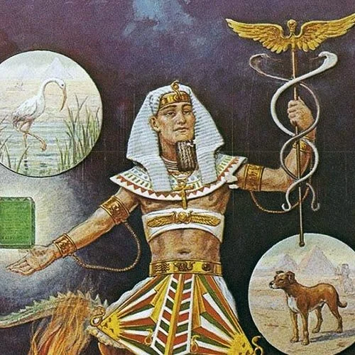
The Legendary Sage
Hermes Mercurius Trismegistus
Known to the Egyptians as Tat, Taut
Or Thoth; this all-knowing hero
Was named Hermes by the Greeks
Linked to Mercury by the Romans
And given the panegyric Trismegistus
Sometime before the Fall of Rome.
In the first few centuries after Christ
He became a useful figurehead
Under which to combine a potpourri
Of Neo-Platonic philosophy
Hellenistic Judaism and the Kabbalah
Challenging the rise of Christianity.
The fragmentary texts attributed to
This syncretic fusion – spouting the mystical
Insights of Egypt, Greece and Rome -
Were then translated in the Renaissance
As a compendium of Cosmogony
Anthropogony and Eschatology
Forming The Corpus Hermeticum:
Ancient wisdoms that were founded
In the long pre-history of the Aegean
And Mesopotamian Bronze Ages.
There is poetry yet in his confabulations.
Quizzing his interlocutor, Poimandres:
… Said I, Who art Thou?
I am, quoth he, Poimandres
The mind of the Great Lord.
…As for Man, although being immortal
And having authority over all
He suffers mortal things subject to destiny.
Then, although above the harmony
Of the cosmos, he is a slave within it.
Now Hermes presses
In what terrible way do the ignorant go wrong
That they have been deprived of immortality?
Poimandres reflects
Why are those who are in death
Worthy of death?
Hermes responds confidently
Because the grim darkness is the first origin
Of one’s own body, from which darkness
Arose the watery nature..from which
Darkness the body is formed
In the sensory world of which death drinks.
Under Poimandres’ Guidance
Hermes, the eager student, is initiated
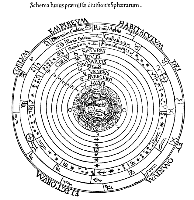
Into the mysteries of the seven spheres.
Shedding all worldly activities of the body
He rises to the Eighth Plain, where
He sings praises to God with a sweet voice.
Then, in due order, he ascends to the Father
Surrenders himself to the powers, and
becoming the powers is merged in God.
Poimandres then berates Hermes
Well then, why do you delay?
Should you not become the guide to those who
Are worthy, so that the human race may be
Saved by God through you?**
It is in such luscious renderings of
The ultimate mysteries of Life and Death -
Our fate in this world and the next -
That we might find both our place in History
And an understanding of the pre-rational
Prehistoric antecedents to Modernity.
*From Anne Carson
Plainwater, Essays And Poetry, 1995
** Text taken from
The Way of Hermes, A New Translation
Of The Corpus Hermeticum
Inner Traditions International, 2000